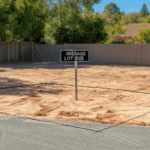
Average Lot Size in Mascotte, Florida: What You Need to Know
When it comes to understanding the average lot size in Mascotte, Florida, having the right information can make all the difference in your property search. Mascotte, a charming city in Lake County, is known for its spacious lots, with many properties offering sizes ranging from 7,500 square feet to over an acre, depending on the … Continued